Stage B – Gl
From Ref. Prariond via Col d'Ouin to Refuge Chivasso
Usefull information


Positive elevation +1400 m

Negative elevation -1200 m

Duration 7 h 15

Distance 14.5 km

Level Expert
Itinerary details
Under
stage
From Refuge du Prariond to the start of the Glacier de la Vache

2 h

4 km

+721 m

-40 m
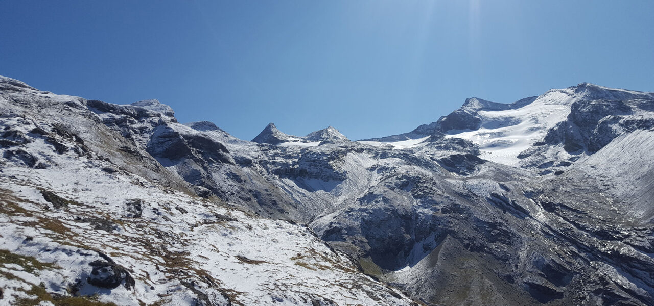
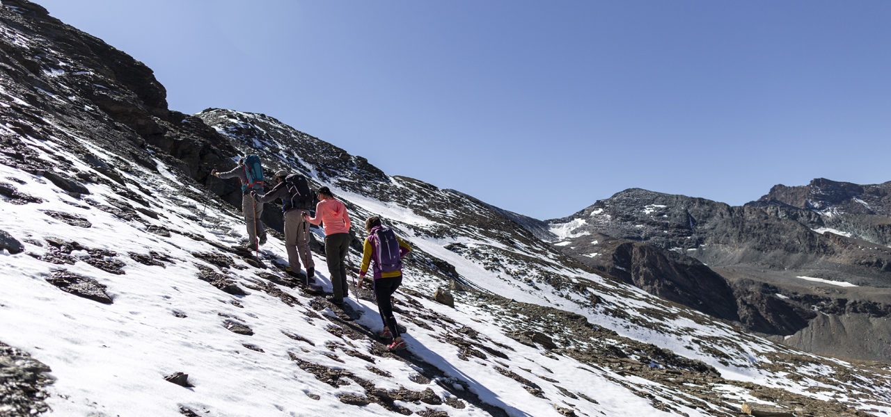
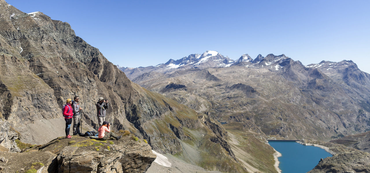
Leaving the Benevolo Refuge, take the path towards Col de la Lose and Col de la Galise. It’s a well marked path on the south side. Once you negotiate the steep slope, you’re in the Niolet Valley. Facing the border mountain chain, we have from left to right: Pointe de Calabre, Roc de Basagne, Pointe de la Galise. Continuing due east towards Grande Tête, the panorama opens up with the Sources de l’Isère Glacier. La Grande Aiguille Rousse (3482m) dominates the peaks to its right, Le Gros Caval (3185m) and Aiguille Pers (3386m). Marked by large cairns, the slope becomes easier. Continue towards Col de Lose to the 2750m contour. Leave the trail to continue straight ahead in the direction of the Vache Lakes.
From there, the slope disappears for a gentle walk through a rocky landscape. Following the cairns and the contour line, cross the stream that connects the 2 lakes (2833m) to tack 190° south-east to the foot of the glacier (2950m).
Glacier de la Vache, Col d’Oin and Glacier de la Capra

1 h 30

2.5 km

+181 m

-250 m
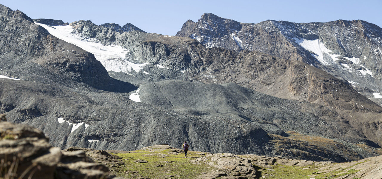
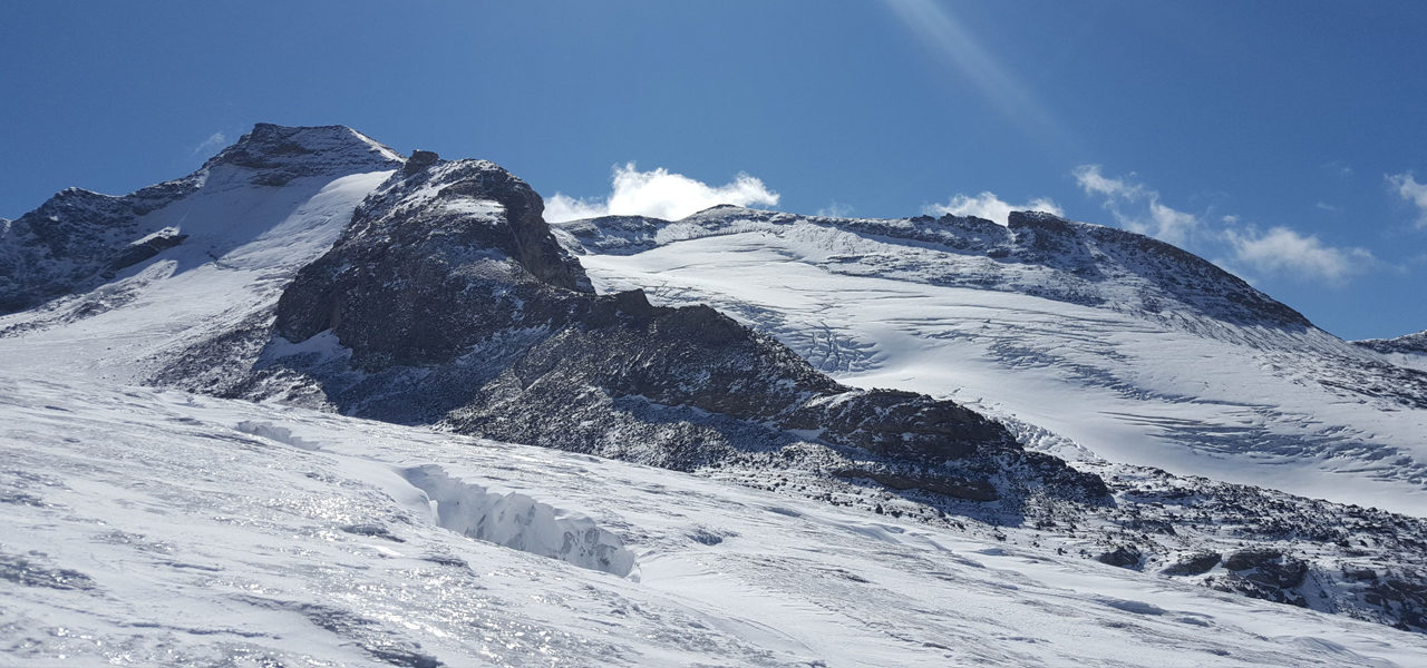
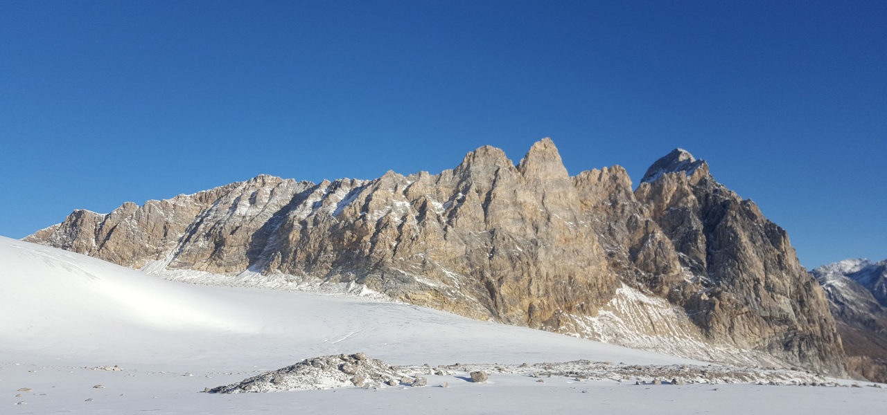
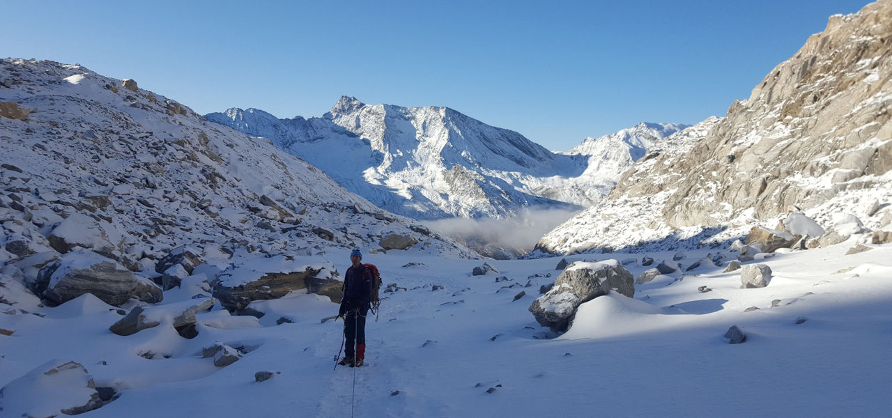
The glacier is not very steep and does not present any technical difficulty. However, its crevassed nature requires attention, at the end of the season, and it’s better to go around first to the right. Then, continue heading east at the 3090m contour until the last steep, stony section which reaches Col d’Oin (3164m) (set up a 20m rope).
On the other side, an inclined rocky 50m section means you can set foot on the Italian glacier (set up equipment 30m). Watch out for possible rockfalls from Cime d’Oin and crevasses that appear at the end of the summer season.
From the end of the glacier to Lake Serrù

2 h

4.55 km

+169 m

-872 m
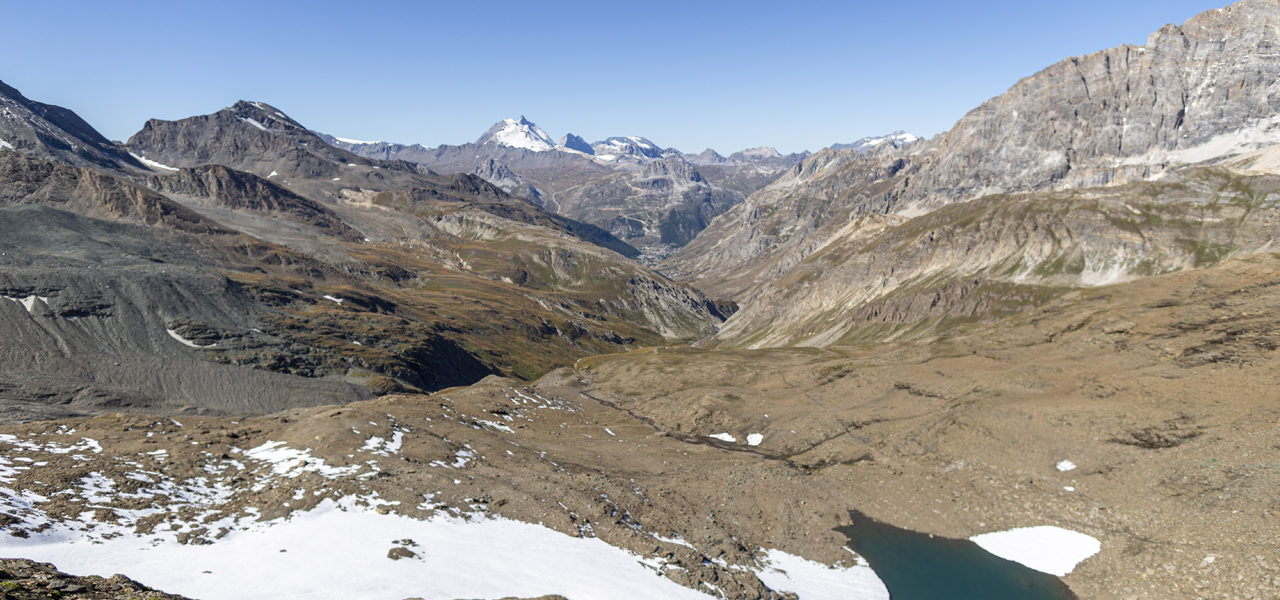
At the end of the glacier, veer off to the left to descend a maze of rocky ledges and boulders (set up 2 ropes). Keeping slightly to the left, you cross the Col du Carro path that leads to Lake Serrù, then turn left until you reach Col Rocce. We leave the rocky part momentarily to descend a steep and winding path, which then runs along a nice little lake. Going straight on, you go around Pointe delle Rocce, from where you can see the Lake Serrù dam. After passing a small fort, descend on rocky debris for about thirty minutes. Arriving under the dyke of the dam that you cross along the side, enter the car park with its public toilets.
From Lake Serrù to Refuge Chivasso/Savoia

1 h 45

3.5 km

+376 m

-30 m
Choose either:
- From the car park, continue on the tarmac road (option of cutting the 3 bends across the grass), then take a left after the stable, just before Lake Agnel. Continue for 250m on the motor road to turn right and climb up to join the path that leads to Col d’Agnel.
- Or, from the car park, take the path towards Col de la Lose on the lake side. After a flat section, climb 50m to fork right, not far from the Second World War forts. A long balcony path takes you under Col d’Agnel.
To reach the pass, climb a steep, winding path, quite narrow with some rocky sections equipped with fixed ropes. Pass the side of a small fort on a raised part to cross a stream and continue slightly to the right and join the tarmac road located under the Chivasso Refuge.
Points of interest
- The sources of the Isère
- Panorama of the Prariond Valley and Orco Valley/Grand Paradis
- Gacier de la Vache
- High-altitude Vache and Rocce Piccole Lakes
- Col d’Oin, at 3174m, is a remarkable viewpoint between Grand Paradis and Vanoise.
- Colle de Rocce
Security
Before setting off, it’s important you:
- Are fully informed (advice from professionals – instructors, guides); choose an activity and route adapted to your physical abilities, motivation and experience; take into account those who are with you; check the weather forecast for the day and don’t hesitate to change your plans if conditions are unfavourable.
- Prepare properly: never head off alone, check your equipment, reserve your place at the refuge, check your personal insurance.
- Equip yourself properly: take with you something to eat and drink; clothing suitable for what you have planned; a map.
Équipment
- Harness
- Rope
- Crampons
- Helmet
- Ice axe
- Head lamp

