Stage D bis
From Refuge des Fours to Refuge du Carro via Col des Fours and Bonneval sur Arc
Usefull information
 Countries crossed :
France
Countries crossed :
France

Positive elevation +1537 m

Negative elevation -1319 m

Duration 7 h

Signposting PR - GR5 - GRdp de Haute Maurienne

Distance 21 km

Level Intermediary
Itinerary details
Under
stage
From Refuge des Fours to Pont de la Neige

2 h

4.6 km

+439 m

-438 m
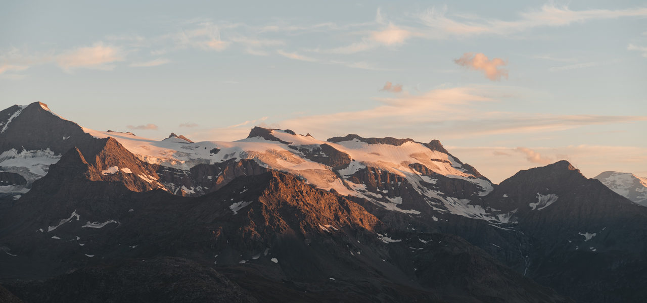
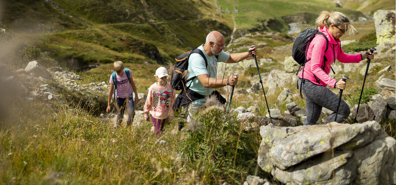
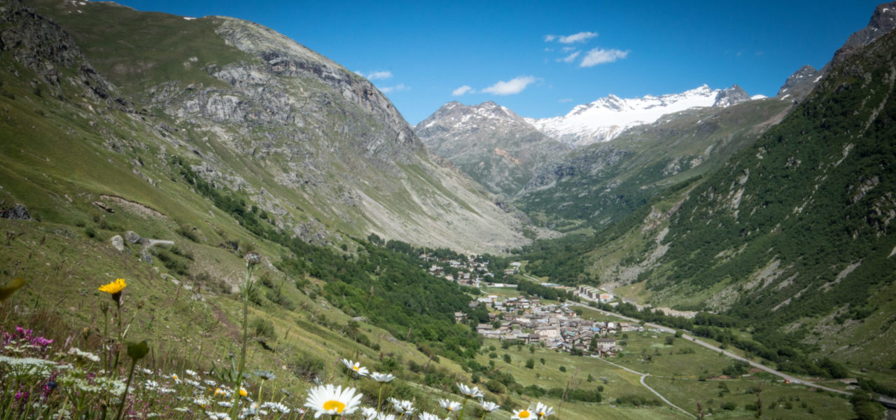
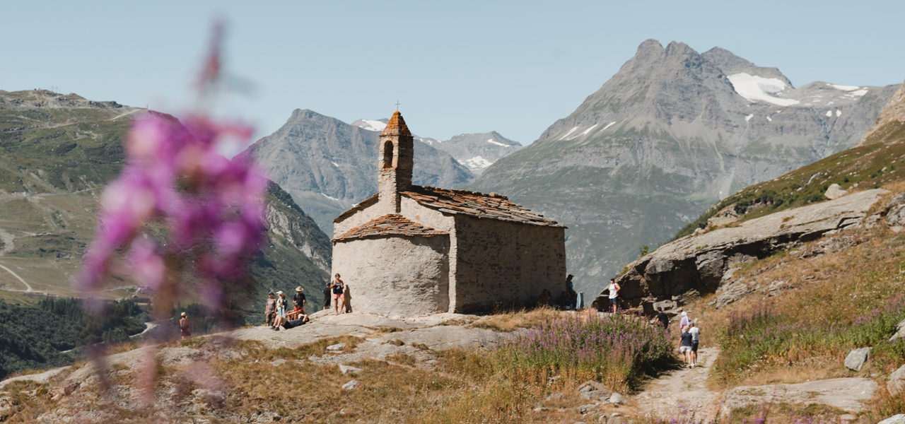
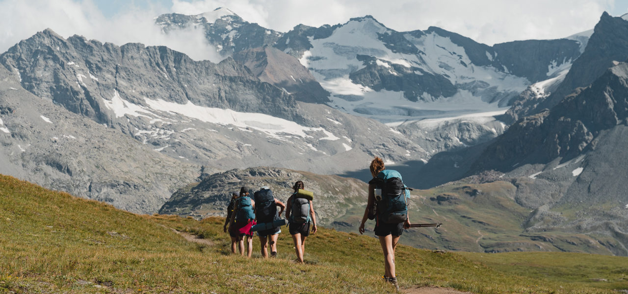
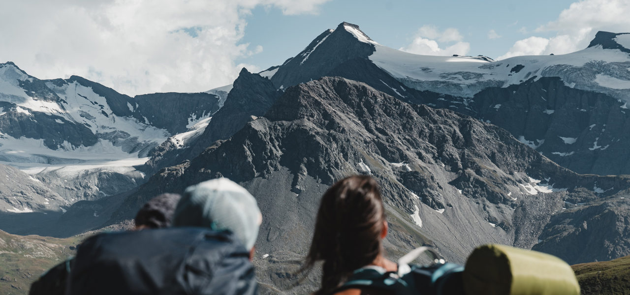
After the first 500m on the flat, head for the meanders of the Fours Stream which comes from the Méan Martin Glacier near Col de la Rocheure. At the junction, turn due east into the Fours Valley. It takes at least a good hour to reach Col des Fours at an altitude of 2976m. The last 100m, a little rocky, are marked by cairns. At the top of the pass, the panorama is well worth the effort, with a view of the summits of the Tarentaise on the west side and those of the Haute Maurienne located on the east side. On the left, the path which overlooks Lac du Grand Fond descends diagonally to another pass. The cairned path follows the ridge between L’ouille de la Jave on the right and Lac de la Jave on the left. 100m before arriving at Pont de la Neige, turn off to the south-east.
Vallon de la Lenta to Bonneval sur Arc
1 h 15
5.2 km
-730 m
Follow the GR5 which overlooks the gorges of the Lenta Stream. Arrive at the cantonal building, cross the bridge and follow the path to the right of the asphalt road for 1.3 km. Then, cross another bridge, walk 1km along the road on the GR5 variant. Take the left-hand path which zigzags over the stream’s EDF intakes. At an altitude of 1870m, take the path on the right to reach the centre of the village of Bonneval sur Arc.
Bonneval sur Arc to La Duis
1 h 45
6.5 km
+223 m
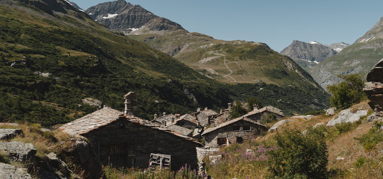
From the tourist office, head in the direction of Ecot. Leave the village heading for “L’Ecot / refuge du Carro”. Pass through the typical hamlet of Ecot until the junction at 5.5 km. Leave the motor road which leads to the alpine chalets of La Duis located a little further on, at the bottom of the valley.
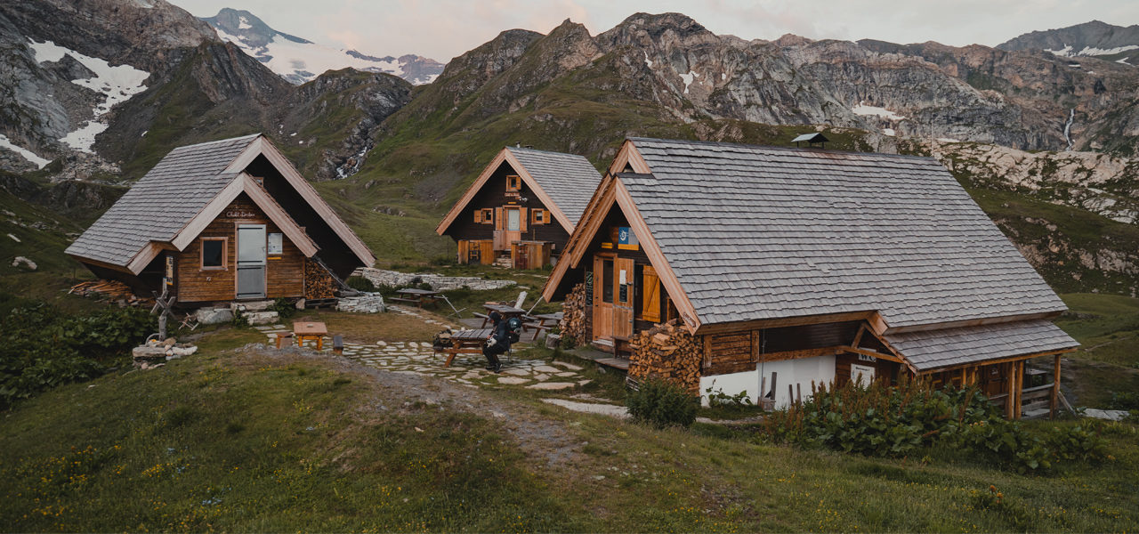
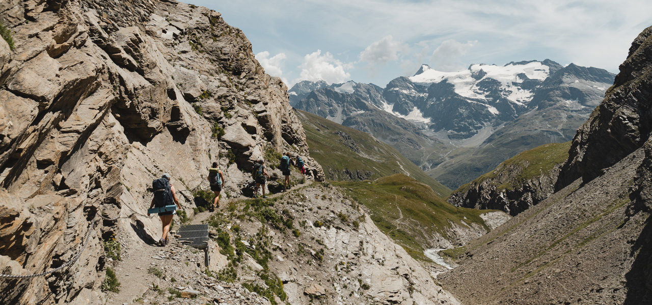
La Duis to Refuge du Carro
2 h
4.5 km
+640 m
From the place known as La Tuilière, walk along the path that spans 2 streams, the first of which passes over a stone bridge built downstream from the Montets Waterfall. Among the summer houses where the herds graze, climb up to the junction of the “balcony path”. The last ½ hour marks the rocky aspect of the snow section.
Points of interest
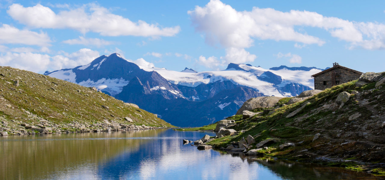
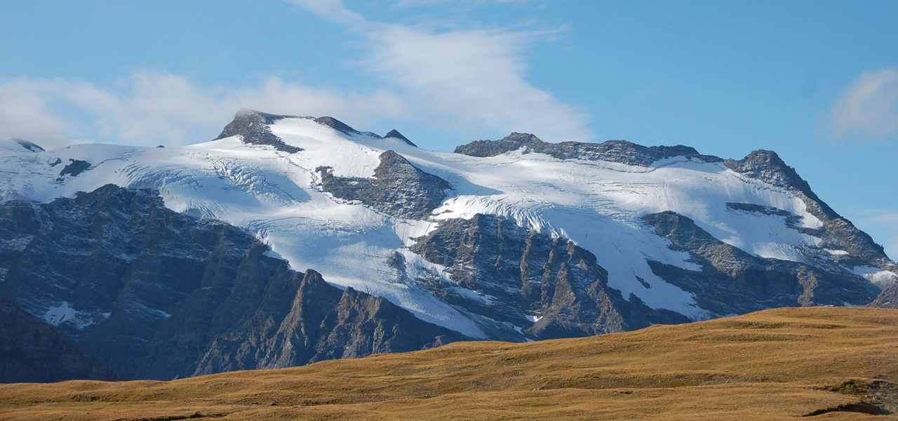
- Col des Fours, the summits of Haute Tarentaise combined with those of Haute Maurienne.
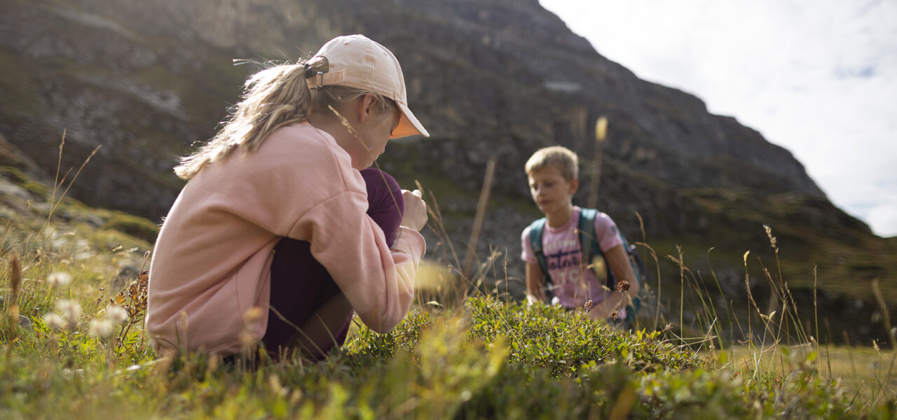
- Fauna: Large population of marmots and ungulates.
- Agro-pastoral activity.
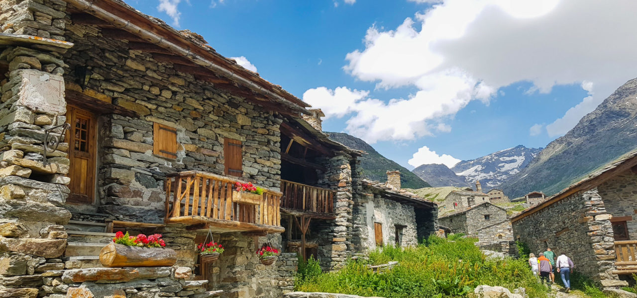
- Bonneval sur Arc and Ecot for its rock architecture This variant offers the advantage of passing through the village of Bonneval sur Arc, listed in the classification of the “most beautiful villages in France” and featuring in the national heritage directory, as well as the authentic hamlet of Ecot.
- The Montet Waterfall
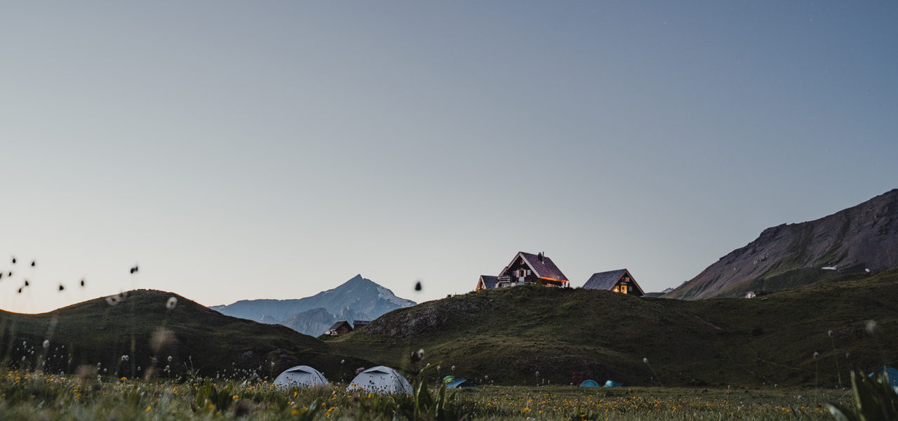
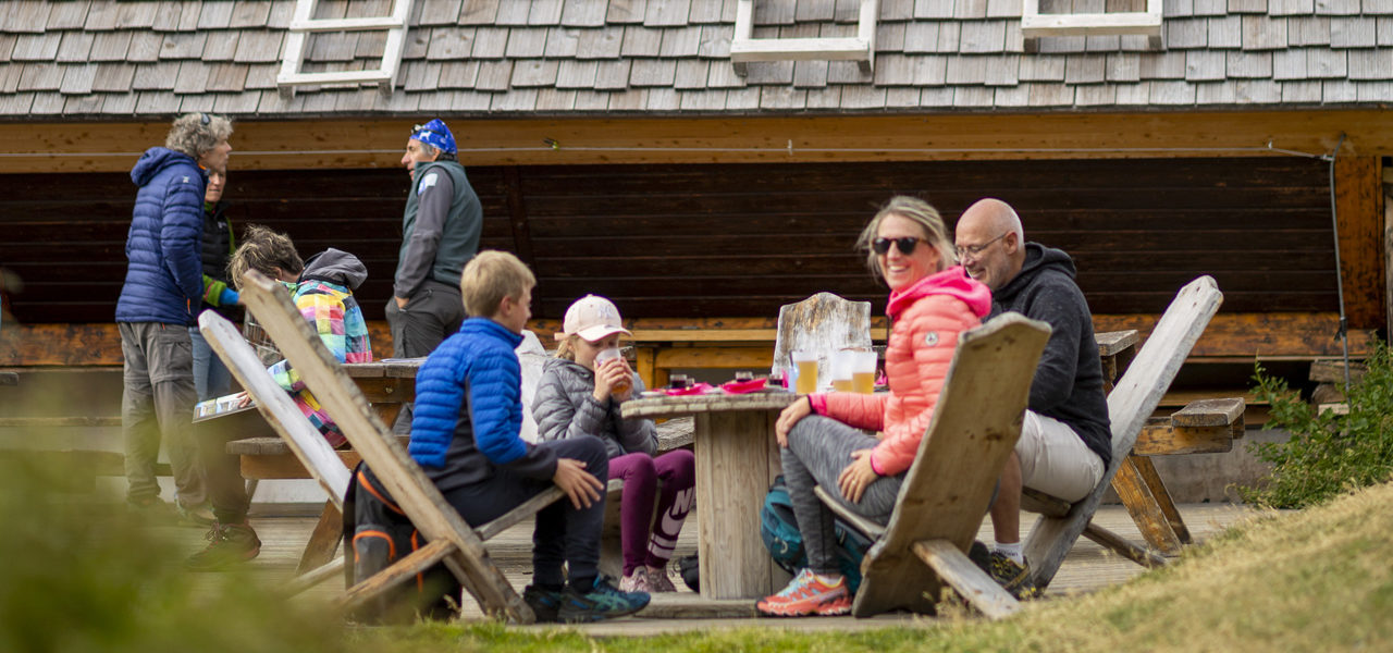
We suggest that you cut the stage in 2 and spend the night at Bonneval sur Arc
Security
Before setting off, it’s important you:
- Are fully informed (advice from professionals – instructors, guides); choose an activity and route adapted to your physical abilities, motivation and experience; take into account those who are with you; check the weather forecast for the day and don’t hesitate to change your plans if conditions are unfavourable.
- Prepare properly: never head off alone, check your equipment, reserve your place at the refuge, check your personal insurance.
- Equip yourself properly: take with you something to eat and drink; clothing suitable for what you have planned; a map.
Équipment
- Walking boots
- Protection from the sun
- Windproof jacket
- Rainwear
- Head lamp