Stage A – Gl
From Ref. Benevolo to Refuge Prariond via Col De Rêmes
Usefull information
 Countries crossed :
Italie
Countries crossed :
Italie

Positive elevation +990 m

Negative elevation -950 m

Duration 6 h

Signposting 13C

Distance 12.1 km

Level Difficult
Itinerary details
Under
stage
From Refuge Benevolo to the start of the Tsanteleina Glacier

45 mn

2.1 km

+354 m

-8 m
Leaving Refuge Benevolo (2285m), turn right onto the eastern side of path 13C. Pass the 2 bends, and you quickly reach the 2400m contour where a long traverse begins which leads to the start of the glacier.
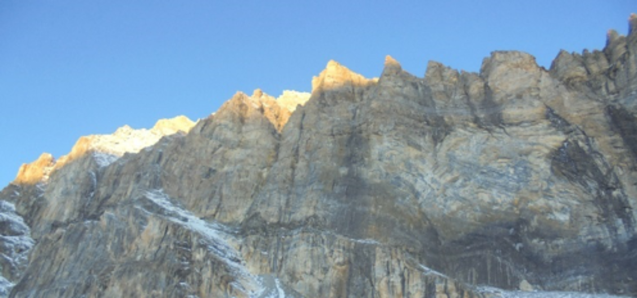
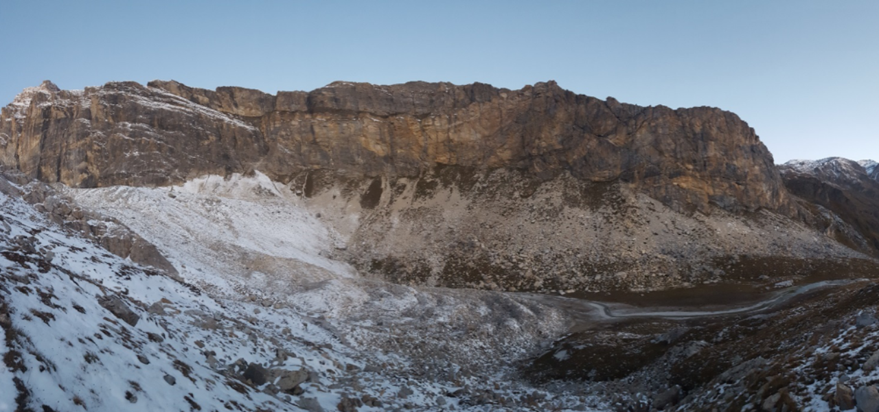
In the first section, the path crosses the inclined grassy slope to reach an amphitheatre which exudes a provocative atmosphere in front of these large rocky walls. It is a unique place of incredible beauty. We leave path 13c which takes a loop towards the Benevolo Refuge, continuing straight on, remembering to pass to the right of the magnificent Tsanteleina Lake, demanding a stop to contemplate one of the most beautiful views on the route; straight ahead, Col de Rhêmes which passes between Roc du Fond (3351m) and the Bazel or Calabre point (3445m). To our right, we can admire the vertical walls of Grand Parei while to the left are the Col and Point Basei. They are referenced as panoramic points of stage C.
Continue straight ahead, taking a circular path to the left until you reach the foot of the glacier.
The Tsanteleina Glacier
1 h 30
2.4 km
+207 m
-80 m
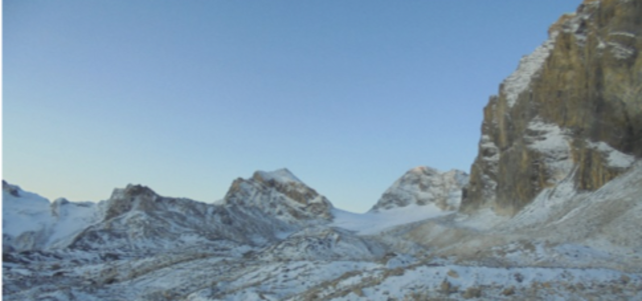
After leaving the path, the ascent of the glacier continues on a gentle, regular slope but more crevassed in its last part.
From Col de Rhêmes to Refuge du Prariond
2 h 30
5.5 km
+190 m
-880 m
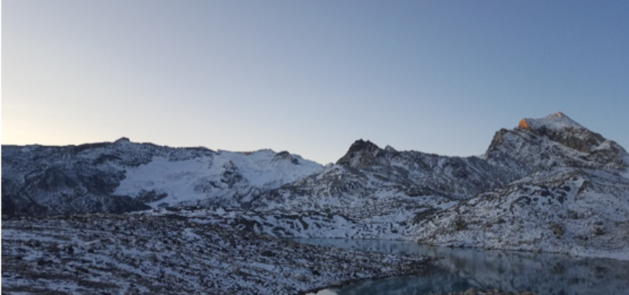
On the French side of the pass, there is only about 200m left of the Rhêmes Calabre Glacier. A path emerges through the stones and a few persistent snowfields. It branches off (2900m) to the left towards 2 clearly visible cairns. Switch to the south-eastern slope in this scree marked with cairns and small bends to the bottom of the Tenn de Rhêmes valley. At 2700m, the path is clearly visible to really dive into the Pente des Cavales to the junction of the path that goes to the Prariond Refuge. The final descent faces the Val d’Isère area and Grande Motte Glacier.
A nice wide, well maintained path crosses the gorges of Malpasset to come out on the plateau of the Prariond Valley, which is where the refuge is located.
Points of interest
- Arriving at Lake Tsanteleina in the amphitheatre located at the foot of Grande Parei.
- Special geological feature of Col de Rhêmes: Limestone breccia with traces of dolomite mixed with gneiss characteristic of metamorphic rocks
Security
Before setting off, it’s important you:
- Are fully informed (advice from professionals – instructors, guides); choose an activity and route adapted to your physical abilities, motivation and experience; take into account those who are with you; check the weather forecast for the day and don’t hesitate to change your plans if conditions are unfavourable.
- Prepare properly: never head off alone, check your equipment, reserve your place at the refuge, check your personal insurance.
- Equip yourself properly: take with you something to eat and drink; clothing suitable for what you have planned; a map.
Équipment
- Harness
- Rope
- Crampons
- Helmet
- Ice axe
- Head lamp