Stage B
From R. Chivasso/Savoia to R. Prariond via Col de la Lose
Usefull information
 Countries crossed :
France
/
Italie
Countries crossed :
France
/
Italie

Positive elevation +818 m

Negative elevation -1088 m

Duration 5 h 30

Signposting 534

Distance 10 km

Level Expert
Itinerary details
Under
stage
From Refuge Chivasso/Savoia to Ref. Pian della Ballotta

2 h 15

4.9 km

+225 m

-400 m
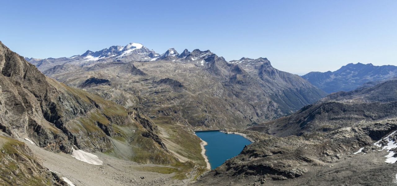
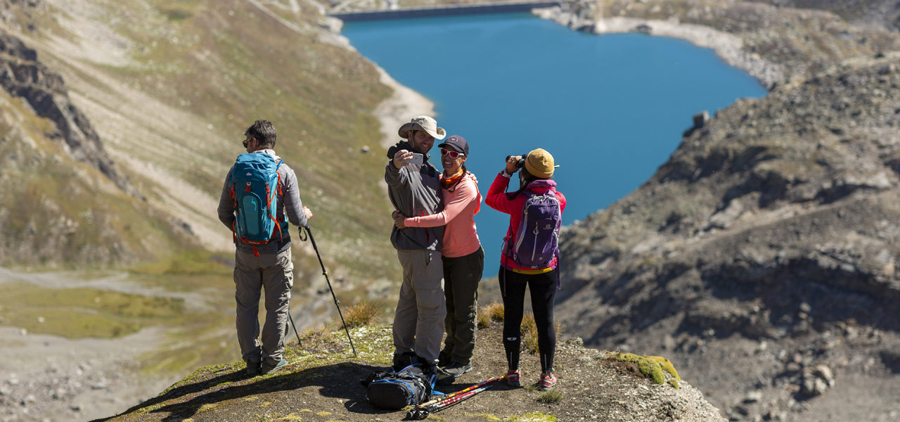
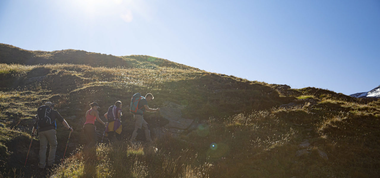
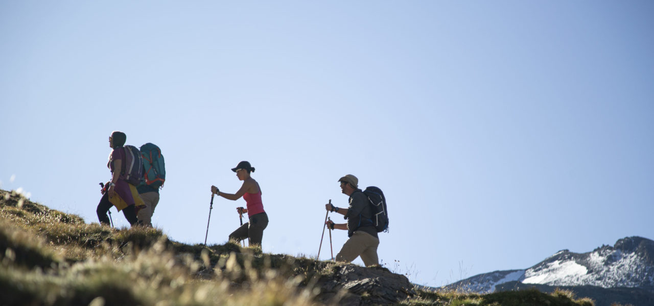
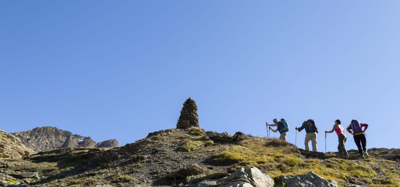
From the bend that starts from the Chivasso Refuge located above the Chivasso Refuge, a path leads to Col Agnel. Cross a tributary which flows into Lake Agnel, which can be seen below. Reach a fort from the Second World War from which begins a rather steep descent that winds, then becomes more gentle in a diagonal which passes first behind the farm, then towards another small fort. While following the curve of the contour, this variant joins the main path towards Col de Lose. From there, a beautiful landscape opens out. To the right of Lake Serrù in the foreground, the Capra Glacier, Cime d’Oin and Cime de la Vache are in sight. After this long traverse that goes around the lake, you reach a rocky outcrop that you can climb in two ways. Either with the help of fixed ropes, or by losing a few metres of altitude to go back up a little further on. After that, a short traverse equipped with cables reaches the Pian Ballota Refuge.
From Ref. Pian della Ballotta to Col de la Lose
1 h 45
2.1 km
+590 m
-35 m
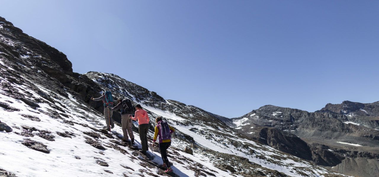
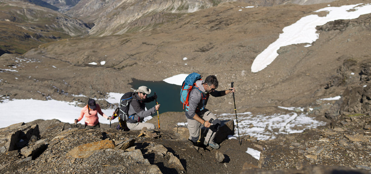
As soon as you momentarily leave the rocky part that surrounds the refuge, you pick up the route which overlooks the roof. It is fitted out with fixed ropes and iron steps embedded in the rock. Continue on a fairly steep grassy slope that runs alongside the Plan de la Ballota waterfall. To access the plateau, you end with a last steep section equipped with steps and handrails. This complex part is certainly the most exposed and requires careful attention from the hiker. After the bridge that crosses the stream and the alluvial plain, you reach a part of the scree that heads up towards the south. A rocky boulder signals the right turn towards Col de la Lose. The trail ends at the foot of a route consisting of handrails and ladders sometimes vertically or horizontally. This section lasts at least 1/2hr.
From Col de la Lose to Refuge du Prariond
1 h 30
3 km
+17 m
-653 m
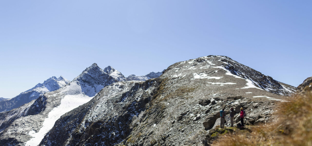
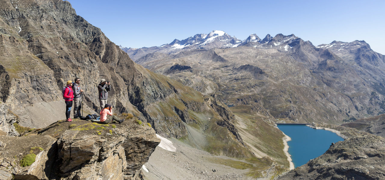
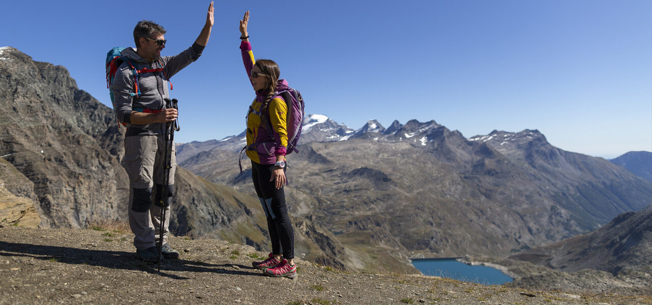
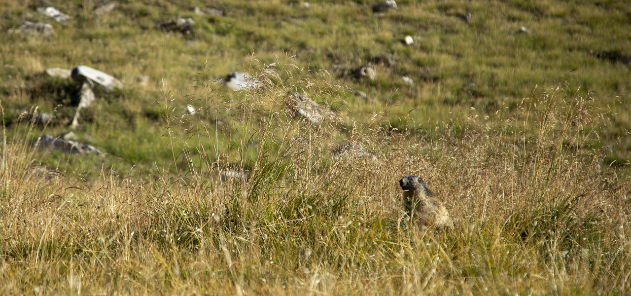
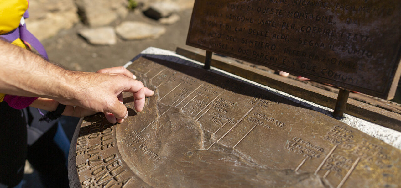
At the col, an orientation table sits on this ideal spot to observe the panorama overlooking Grand Paradis. On the other side, the peaks in the foreground surround the Prariond Valley with the Grande Motte glacier as a backdrop. From the start of the descent, an elevated steep path gives access to a lake that you skirt around on the right. Then, the slope becomes gentle and passes along the edge of the cliff 2850m up to large cairns erected where a path crosses to the right towards Col de la Galise. Continuing west, a small section of slabs marks a change of inclination but not to the same degree as the Italian side. On this green slope, marmots regularly appear. In the last hairpin bends, a wonderful gorge dominates the Prariond Refuge located 100m below (2324m).
Points of interest
- 2 forts from the Second World War
- Veins of limestone rock
- Magnificent view before arriving at the P. Ballota Refuge
- Col de la Lose: panorama with orientation table
- Flora from Grande Tête
- Ibex above P. Ballota
- Marmots going down to the Prariond Refuge
Security
Before setting off, it’s important you:
- Are fully informed (advice from professionals – instructors, guides); choose an activity and route adapted to your physical abilities, motivation and experience; take into account those who are with you; check the weather forecast for the day and don’t hesitate to change your plans if conditions are unfavourable.
- Prepare properly: never head off alone, check your equipment, reserve your place at the refuge, check your personal insurance.
- Equip yourself properly: take with you something to eat and drink; clothing suitable for what you have planned; a map.
Équipment
- Walking boots
- Protection from the sun
- Windproof jacket
- Rainwear