Stage E
from Refuge du Carro to Refuge Chivasso/Savoia via Col du Carro
Usefull information


Positive elevation +1047 m

Negative elevation -1193 m

Duration 7 h

Distance 10.8 km

Level Difficult
Itinerary details
Under
stage
From Refuge du Carro to Col du Carro

1 h

1.5 km

+375 m

-4 m
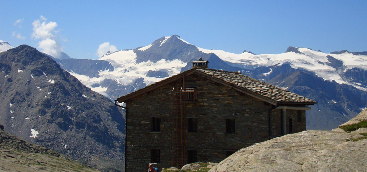
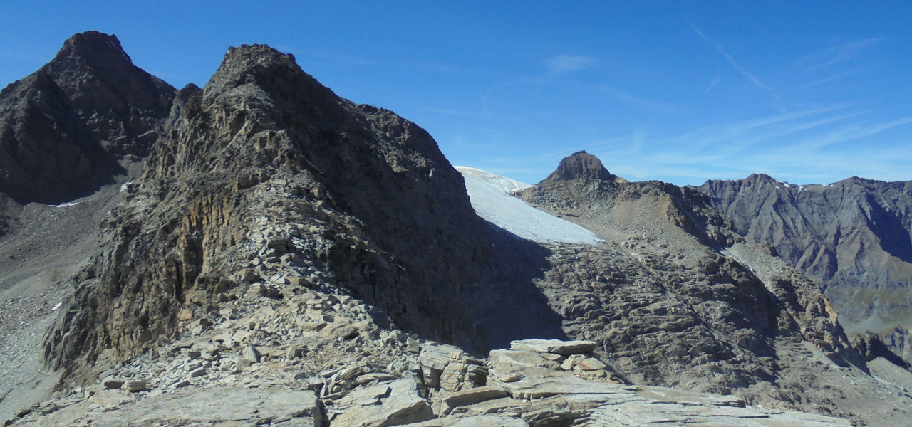
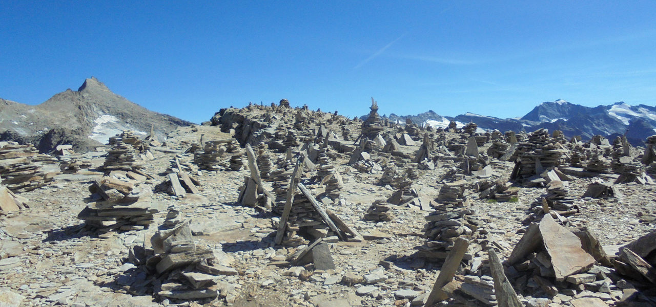
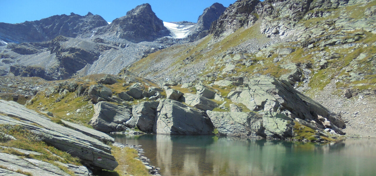
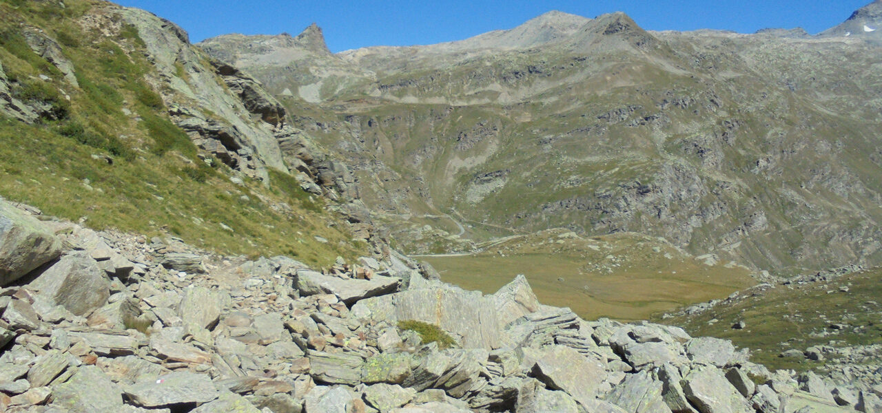
From the refuge (2700m), the ascent begins to the left, behind the refuge, to climb north. A path takes us to a small lake (2850m) which forms a ledge. Then, at the 3000m contour, the route turns left. On this massif formed of gneiss, progress is on stable slabs. Arriving at the pass, you’ll be impressed by countless cairns of different shapes and heights. In the background, the Levanna Orientale and Levanna Centrale thread their way over the ridge towards the east.
From Col du Carro to Col delle Rocce

1 h 30

2.46 km

+100 m

-520 m
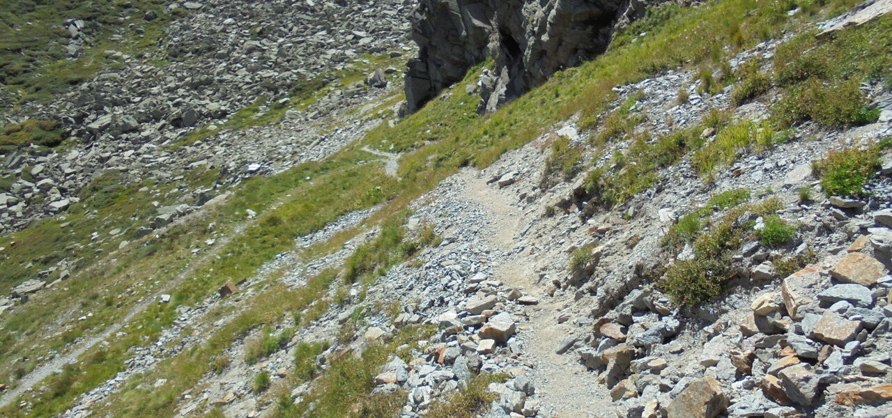
The descent of the pass begins on a fairly steep slope, a diagonal traverse with fixed ropes requiring concentration and caution.
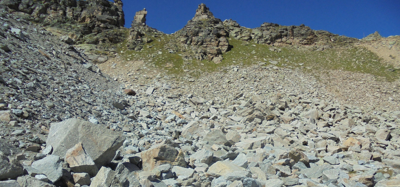
By following this path marked with red and white markings on the rock, you reach a second raised section which overhangs the rocky bar, although it is less involved than the previous one. It then leads to the left which passes under the wall of Col du Carro. The descent forms laces to the foot of this ridge which dominates the cliff below.
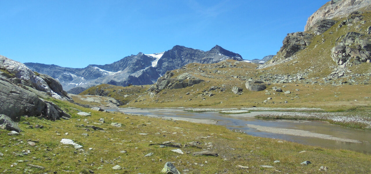
A long moraine traverse crosses the runoff from the glacier and the few snowfields that persist until the point at Colle delle Rocce.
At the end of this long stony path, you reach the junction with the glacier route which comes from the left from the glacier located under Pointe d’Oin.
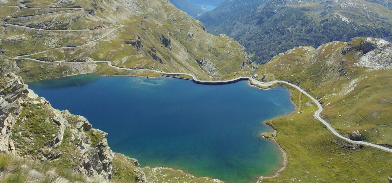
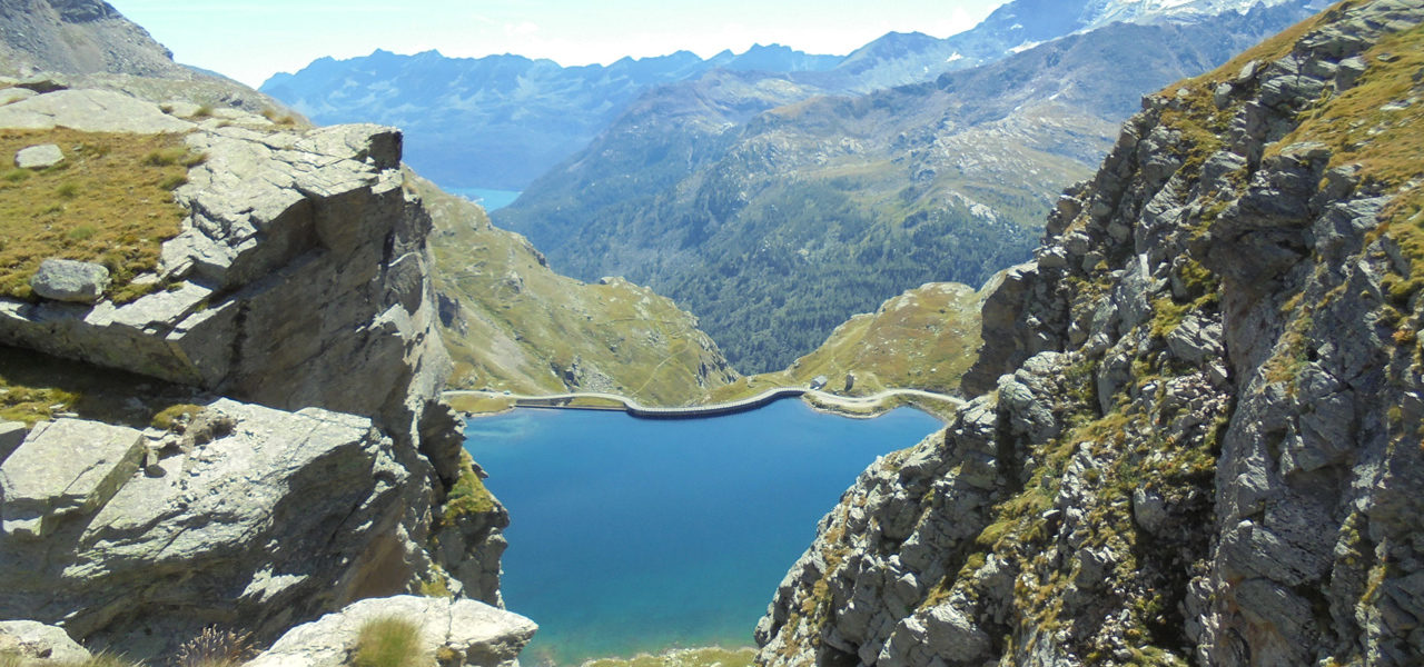
Continue to Col delle Rocce, which can be reached in 5 minutes, to enjoy a breathtaking view of Lake Serrù.
From Col delle Rocce to Lake Serrù

2 h

3.75 km

+135 m

-621 m
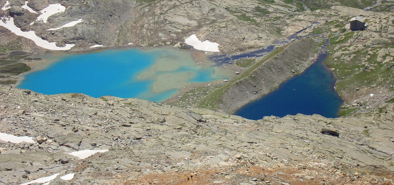
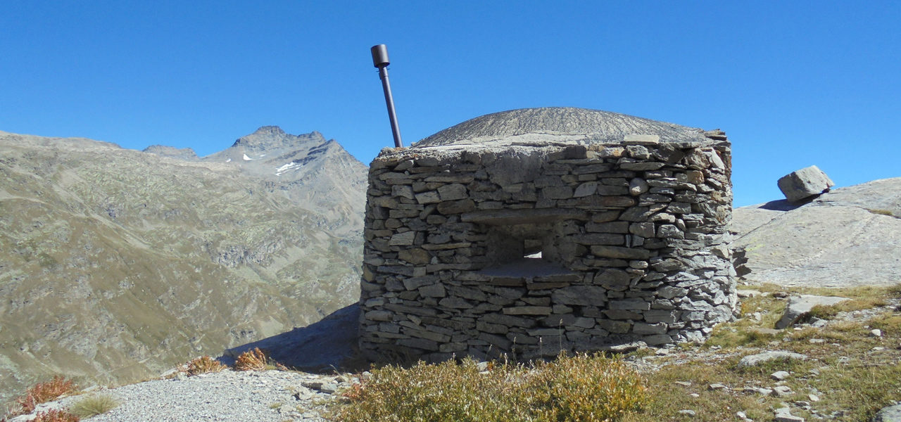
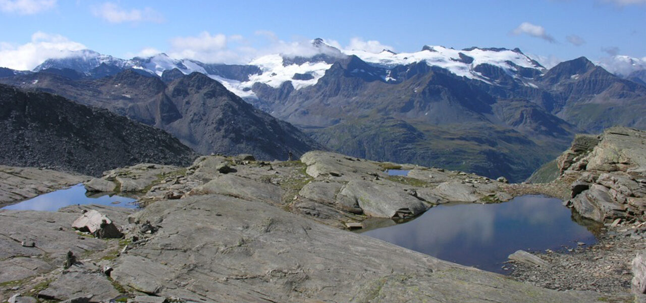
Leave the rocky terrain momentarily to descend a steep and winding path, which then runs along an attractive little lake. Going straight on, head around Pointe delle Rocce, from where you can see the Lake Serrù dam. After passing a small fort, descend over rocky debris for about thirty minutes. Arriving under the dam, which you cross on its side, you arrive in the car park with its public toilets.
From Lake Serrù to Refuge Chivasso/Savoia

1 h 30

3.1 km

+437 m

-48 m
- From the car park, continue on the tarmac road (option of cutting the 3 bends across the grass), then turn left after the stable, just before Lake Agnel. Continue for 250m on the motor route to turn right and climb up to join the path that leads to Col d’Agnel.
- Or, from the car park, go along the path towards Col de la Lose along the lake. After a level section, climb 50m to fork to the right not far from the Second World War forts. A long balcony path takes you under Col d’Agnel.
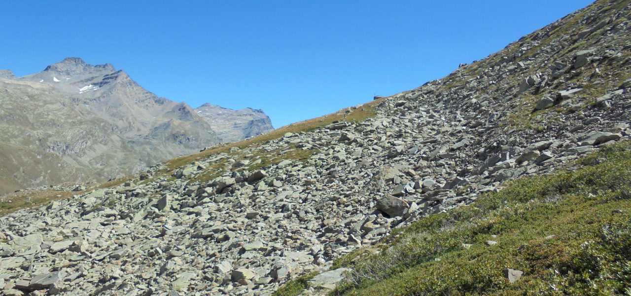
To reach the pass, climb a steep, winding, fairly narrow path with a few rocky sections equipped with fixed ropes. Pass the side of a small fort on a raised section (to be widened) to cross a stream (bridge to be provided) to continue slightly to the right and join the tarmac road located under the Chivasso Refuge.
Points of interest
Fantastic vue but make sure you’ll be all right with the italien part from Col du Carro with rocky and vertiginous path which requested a high attention. An engaged hike with atechnical part.
Security
Before setting off, it’s important you:
- Are fully informed (advice from professionals – instructors, guides); choose an activity and route adapted to your physical abilities, motivation and experience; take into account those who are with you; check the weather forecast for the day and don’t hesitate to change your plans if conditions are unfavourable.
- Prepare properly: never head off alone, check your equipment, reserve your place at the refuge, check your personal insurance.
- Equip yourself properly: take with you something to eat and drink; clothing suitable for what you have planned; a map.
Équipment
- Walking boots
- Protection from the sun
- Windproof jacket
- Rainwear
- Head lamp

